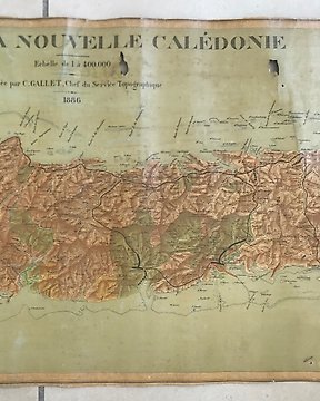
Amerika, Térkép - Észak-Amerika / Új-Kaledónia; Gustave Gallet (1850 - 1926) - Carte de la Nouvelle Calédonie - 1881-1900
Nr. 38540807
Nr. 38540807
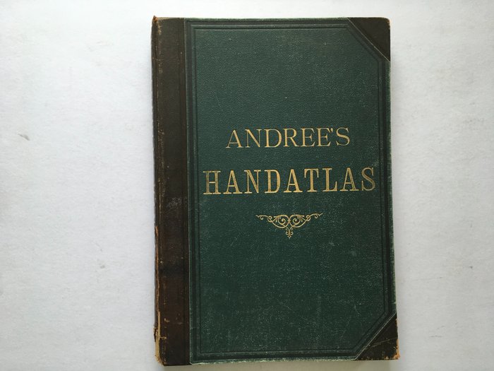
Richard Andree, Andrees Allgemeiner Handatlas - Bielefeld und Leipzig, Velhagen en Klasing, 1881 with text appendix 98 pages. World atlas consisting of 86 main maps. Original leather bindings with gold print, 43 x 30 cm. This is a first edition.
Condition: reasonable/good. The spine is missing approx. 4 cm of the bottom piece. The first maps are loose. The maps look great.
Weight 3200 grams.
Size: 42 x 29 cm.
Hogyan vásárolhatok a Catawiki-n?
1. Fedezzen fel valami különlegeset
2. Tegye meg a legmagasabb licitet
3. Fizessen a biztonságos és védett rendszert használva